Directions open in app
Local Species Available Open all year. Check NJ Fish and Wildlife Digest for Spring Stocking closure dates.
-

Trout
Rise Form Guides/Ramsey Outdoor's Recommended Fly Patterns
"Must-have" fly fishing patterns in descending order of importance:
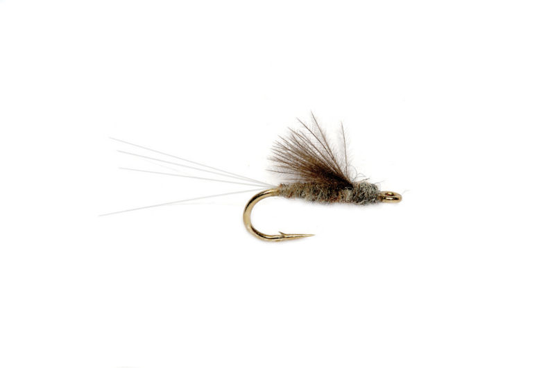
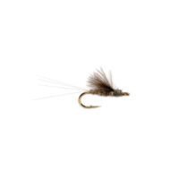
RS2
A must have emerger fly pattern for any trout fisherman.
Rise Form Guides/Ramsey Outdoor's Recommended Gear
-
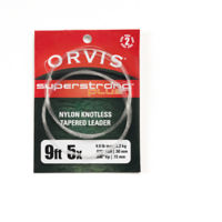
Best Leader:
Super Strong Plus Leaders
-
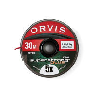
Best Tippet:
SuperStrong Plus Tippet in 30- and 100-meter spools
-
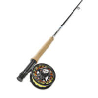
Best Fly Fishing Rod:
4-Weight 9' Fly Rod
-
Best Floating Fly Line:
WF Trout Fly Line